


Blog 6
10th – 14th April
Kyzylorda to Kokaral Dam
Distance: 520km
Total Distance: 1719km
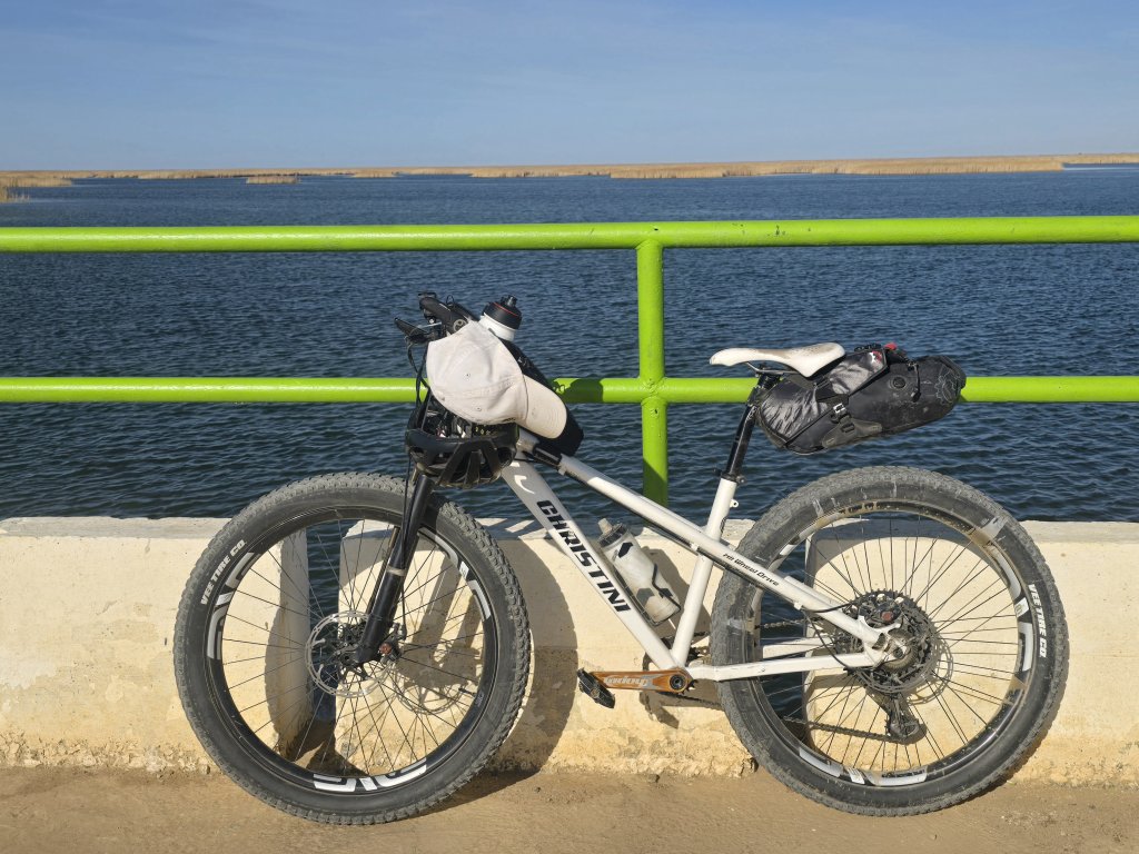
Day 18 – 124km
We left our Kyzylorda apartment – on the fourth floor of a Soviet-style building – apartment blocks have the same design all over the former Soviet Union. I’m not quite sure how some of these buildings still hang together – shoddy brickwork, stairs that are irregular in height and shape – big, solid doors for security. And central to the multi-story apartment blocks are always children’s play areas.
We navigated towards the northeast boundary of the city and then to the main road that tracks the north side of the Syr Darya. Once away from the city, there was thankfully much less traffic – the heavy international traffic is funnelled along the main highway (Syr Darya south bank), as I had already experienced. I was pleasantly surprised to be fanned along by a tail wind and made great progress. There were many canals to service the rice growing region – all controlled from the Kyzylorda Hydro-Complex. Zalagash town in particular looked to be an agricultural centre with some impressive grain silos.
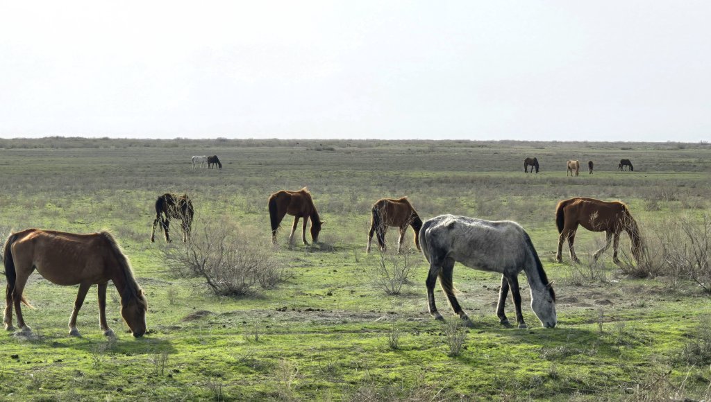
After Zalagash, the landscape changed from dull scrub to green steppe country with some wetlands where I saw herds of horses, sheep, goats and cows grazing.
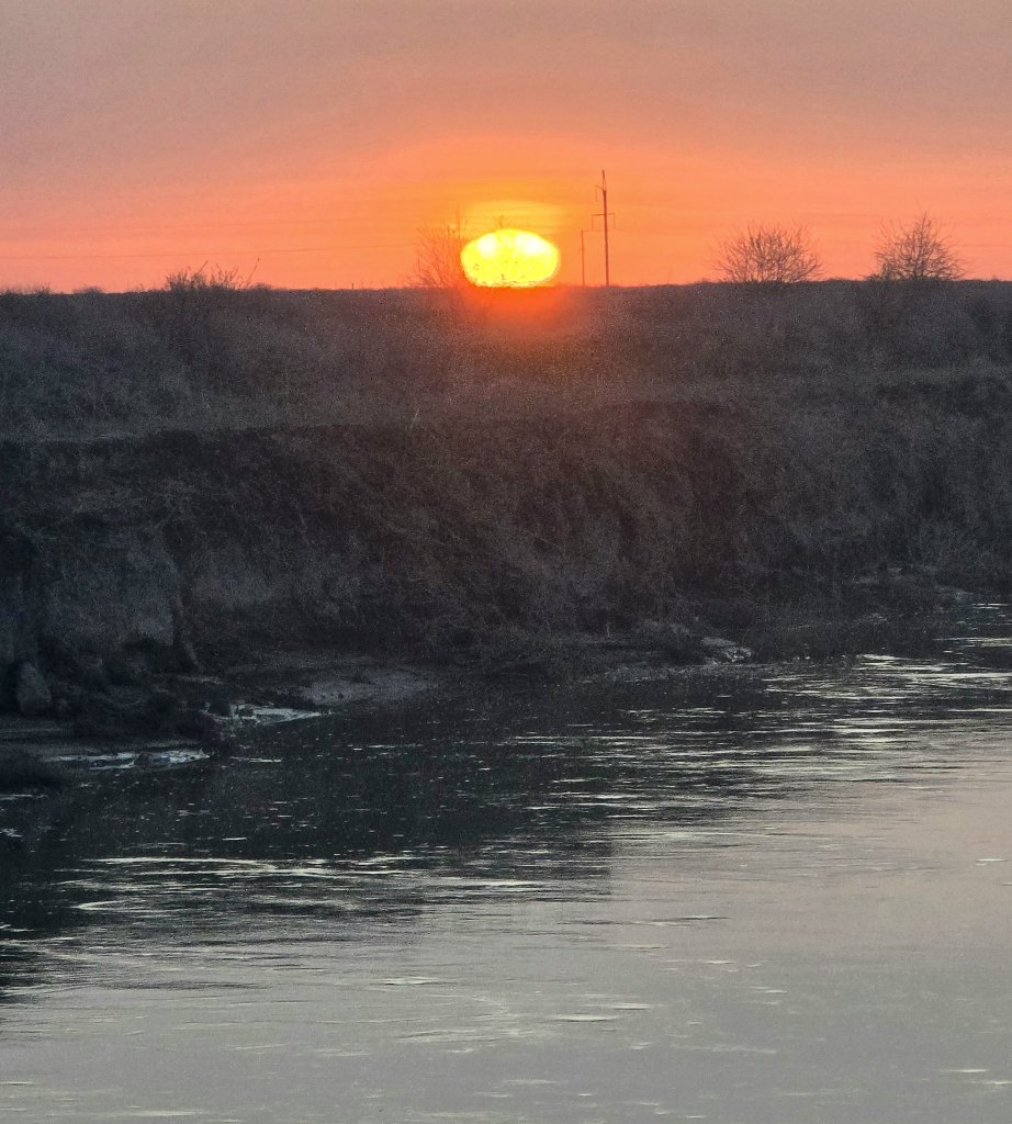
The Syr Darya meanders over the flat lands and at this point the road was not far from the river. We camped beside the river, 1.5km from the road. The river is gradually getting smaller, but still looked to be fast flowing through this flat, sandy landscape. A few scrubby trees make a slight wind break for our campsite.
Day 19 – 148km
I again enjoyed tail winds for the first half of the day and basically flew across the open plains. One of the best memories of this day was the kindness of those we met along the way. Three times people offered water and food; the Alpishai family in a small village on our first break and an employee at the service station, who took us into the shop and bought Georgia and I a litre of water and an apple each. And then, in the latter part of the day, as I was struggling in severe cross winds, two men stopped and filled my water bottles.
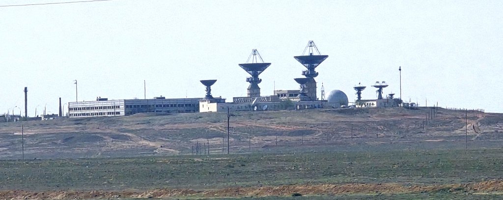
Another highlight was passing the Cosmodrome launch site, where the first person, Yuri Gargarin, was launched into space. The Cosmodrome and the service town, Baikoner are closed to the public, unless one books a month in advance and pays about $1000 USD. I had to cycle well clear of the zone, a further 25km on from Baikoner, before we could select a campsite beside the river.
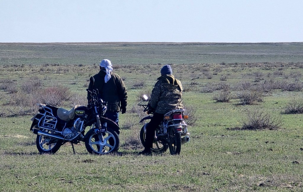
The river here looked bleak. There was no vegetation, just the muddy waterway. We were well away from the nearest village, however, just as we started to set up camp, a local on a motorbike with a sheep tied up in the trailer arrived, followed by and entourage of a further four cars. It was all very random and I think Sasha felt a little intimidated. It turned out they had come to the river to kill the poor sheep. Prayers were offered and the deed done, they just as quickly disappeared back to the village and left us in peace.
Days 20, 21 – 72km, 95km
Overnight the wind switched 180 degrees to a cold, gusting northerly wind – a head wind. Fortunately I didn’t have a long day planned. Just as we started on the busy highway I noticed my 360 camera was missing from my top tube bag. I managed to get a message to the team who stopped and returned to where we started on the highway. Our camp was two kilometres of rough track from the road. Amazingly Sasha spotted my camera on the track – I am very lucky to still have the camera!
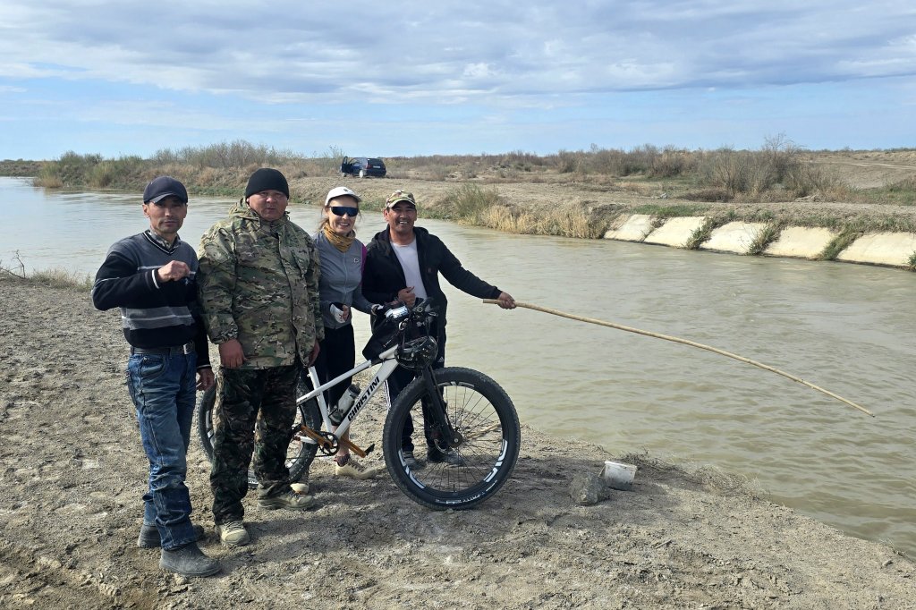
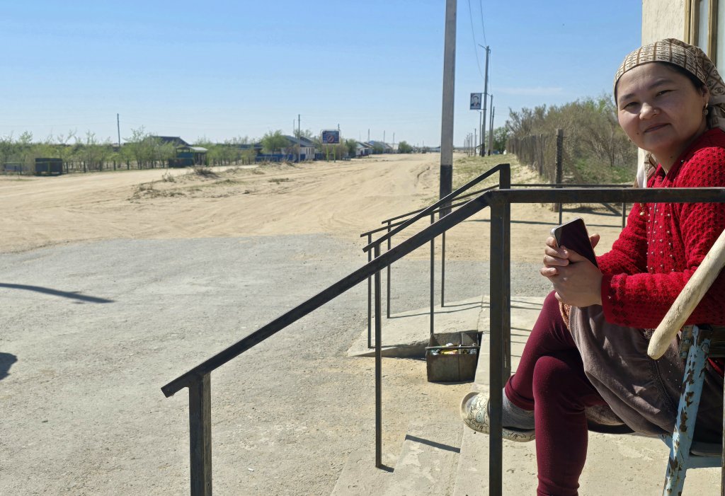
The evening was spent in Ateke Bi, formerly the Soviet town of Kazalinsk. From there on another cold day, I diverted to see the ancient archeological site, Jankent – known from Arab writings of the 10th century AD as the capital of the steppe empire of Oghuz Turks. Unfortunately the site has not been conserved in recent years and it was a wasted effort. From there we followed a canal on a rough track for 22km – a real adventure in itself, meeting fishermen along the way.
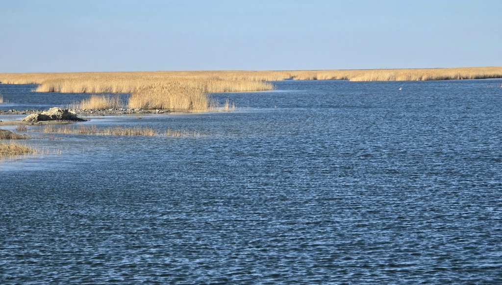
We camped about 4km off the road beside Kotankol Lake, a stunning place once we’d found a spot sheltered enough from the wind.
Day 22 – 81km
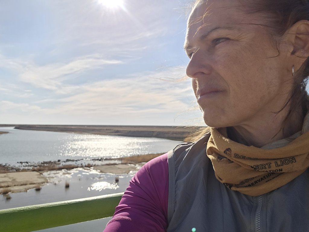
Kokaral Dam, the Mouth of the Syr Darya and Aral Sea North.
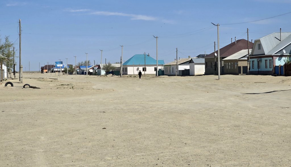
From Kotankol Lake we were in beautiful steppe country – green, flocks of horses, camels, sheep… We were hoping for some supplies at Janakorley but the shop was pretty bare. Sasha did find an icecream for breakfast though! From there the road downgraded to some very rough gravel and then finally back to a better surface to Karateren, the main village in the area.
One key physical aim of the expedition is to cycle the length of the Syr Darya from its source to the Aral Sea. I started the ride from Khujand in Tajikistan (from the source to Khujand will be cycled later in the journey) so reaching the Aral Sea is the end of one key section of the journey.
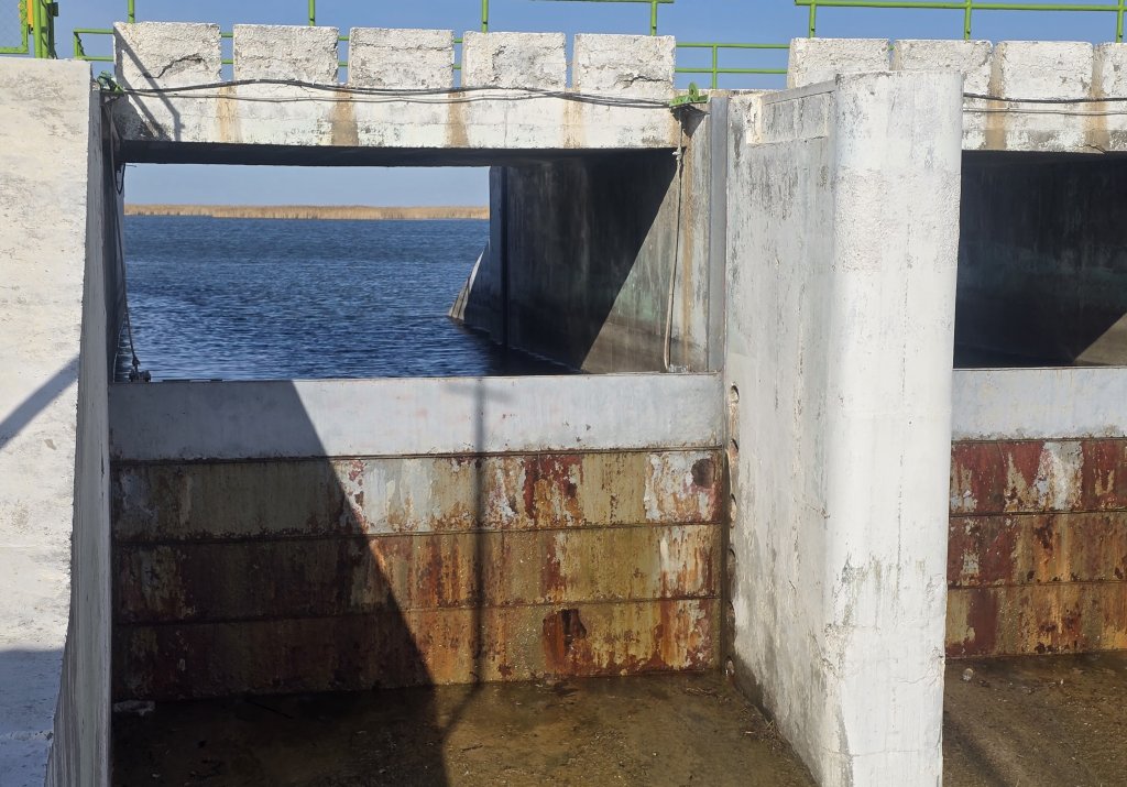
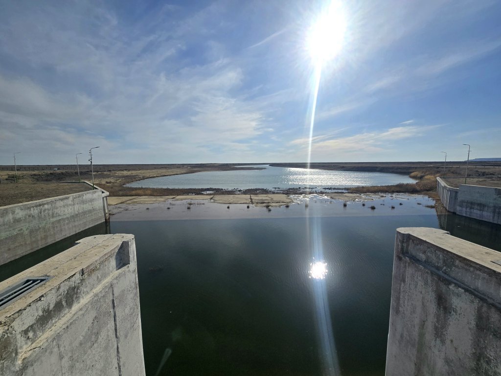
The Kok-Aral Dam and levy banks, were co-funded by the World Bank and Kazakhstan government in 2005, to hold the Syr Darya’s water and help save the North (Small) Aral Sea. The result continues to be transformational. The water level of the sea rose by several metres in the first few months, reducing water salinity and reviving the fishing industry and with it, livelihoods. We were very fortunate to be granted permission to see it and capture it on film and stills with thanks to the support from the International Fund for Saving the Aral Sea.
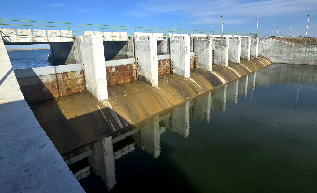
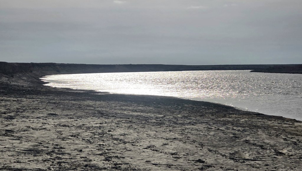
However, getting there from Karateren was more of a struggle than expected – the road was shocking. I was hoping to see water gushing through to the south but in recent years the Syr Darya’s flow has been less. Looking to the Aral Sea North, the reedy lake was filled with birdlife. A few fishing dinghies were scattered amongst the reeds. Looking to the Aral Sea South, I felt sad because it was like it was flowing out to just evaporate. The surface area is too vast and any water doesn’t make a significant difference over the dry seabed.
In the late afternoon we made a quick visit across the Kokaral Dam to Barsakelmes Reserve, a former Island in the Aral Sea, and explored the cliffs and a gorge rising about 30 metres above the seabed. Then it was back to Karateren where the Mayor of the town offered to put us up at his place for the night.
FOLLOW THE JOURNEY
Thanks to ZeroSixZero, you can open this URL on your phone and select “add to home screen” and the map will become and app. You can then keep updated in real time: https://z6z.co/breakingthecycle/central-asia
TAKE ACTION
Support my Water.org fundraiser to help bring safe drinking water and sanitation to the world: Just $5 (USD) provides someone with safe drinking water or access to sanitation, and every $5 donated to my fundraiser will enter the donor into the Breaking the Cycle Prize Draw. https://give.water.org/f/breakingthecycle/#
EDUCATION
An education programme in partnership with Exploring by the Seat of Your Pants, with contributions from The Royal Geographical Society and The Duke of Edinburgh’s International Award Australia. We have created a Story Map resource to anchor the programme where presentations and updates will be added as we go.


G’day Kate, I forgot I can comment on the post, it all seems to be going well with your journey. We drove through all that area in 2008. Your photo of the cosmodrome looks to have been taken where we camped one night. We were a bit worried about being kicked out of the area, but nobody came.
As usual you have done your homework which has added to our knowledge of the area.
Stay safe, looking forward to you reaching Aral.