Blog 15
13 June
Day 26
Location: Hottentots Bay +5km
Distance: 37km
Total Distance: 1250km
Our progress today was always going to be dependent on the tides. There were three sections where we could only get through during low tide because the waves would surge right up to the sand dunes, sometimes causing sand to slip into the water.
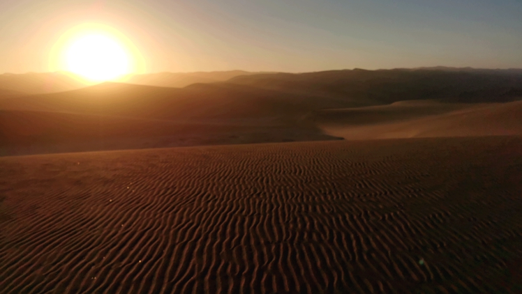
We set off just as it was getting light at 7.40am to try to get as much done before high tide which was around midday. In behind the Saddle Hill South headland, we followed a string of sand ridges and I was able to enjoy cycling over the more coherent sand in the cool of the morning. As the sun was low on the horizon, the light was superb.
Then it was back toward the beach, meandering through low dunes and a messy obstacle course of coastal vegetation. In the morning there were three rocky headlands where I had to scramble with my bike over the rocks – often very awkward with an over-sized bike, cleated mountain biking shoes that are like walking on planks of wood and slippery, wet rocks. Traversing the sand to avoid the headlands (the only way for vehicles) required exceptional driving skills by Simon and Elago.
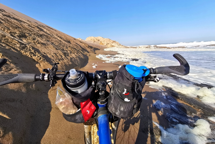
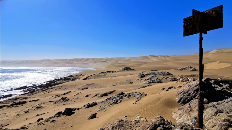
By late morning, the surging tidal waters cut off the beach corridor and it became too soft and dangerous for the vehicles and me to get through. We found a small protected bay just south of Black Rock headland and waited for three and a half hours for the tide to recede sufficiently.
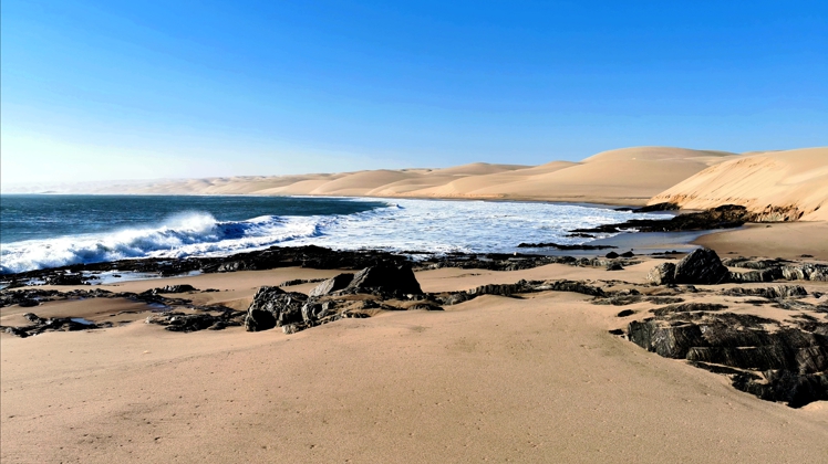
The final tide-dependent five kilometres to Hottentots Bay was brutally soft and really challenging work. On the way there were several small bays where tidal lakes had formed from the tidal overspill. Studded through these enclaves were many old rusting crayfish traps. Hottentots Bay once had a crayfish processing factory (marketed as Luderitz Rock Lobsters).
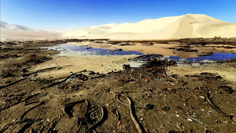
All along these beaches, especially in the rocky parts of the south, I would find the shells of crayfish (lobsters in the US) washed up. Shellfish are abundant; I have been crunching my way over sands covered in mussel shells and all sorts of white shells. Kelp is washed up everywhere too, some the size of small trees!
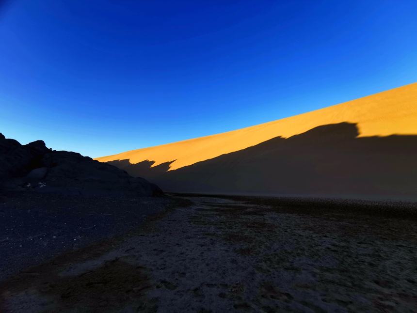
At the head of Hottentots Bay, we entered vast mudflats. I appreciated 5km of flat, solid mud surface, apart from the usual nagging headwind. Simon knew of an idyllic, well-protected camp spot about a kilometre out of the way, nestled on the edge of a small mudflat at the base of a huge granite rock, enclosed in a ring of high sand dunes.
14 June
Day 27
Hottentots Bay +5km to Luderitz
Distance: 65km
Total distance: 1315km
This was my eleventh intense day in a row and I was really determined to reach Luderitz and the end of this section. I knew it was going to be a full day, so I was pleased that the weather Gods were kind – no significant headwind.
Back on to the long mudflat, I enjoyed pedal at 15km an hour over a firm, though often rough mud and salt track, sand dunes to my left, Hottentots Peninsula to my right.
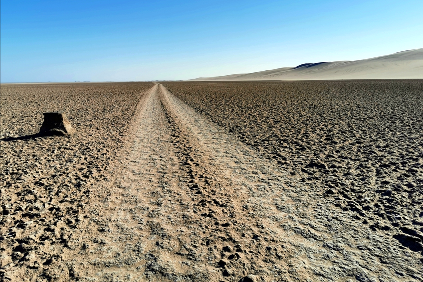
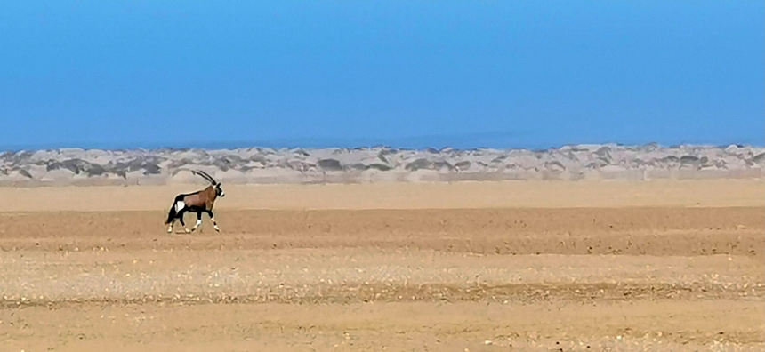
After about 15km, at the end of the pan, we had to skirt the mudflat, cycling between the soft beach sand and the now spongy rough pan. This was extremely wearing on tired legs. I spotted a beautiful large gemsbok (oryx) on the plain).
We were heading directly back to the beach where, from a long way back could see the wreck of a container ship, the Frotamerica. In 2008 the ship was being towed from Brazil to India to be scrapped, but while in Luderitz harbour, in a wild storm, the ship broke from its mooring and eventually drifted to its current location.
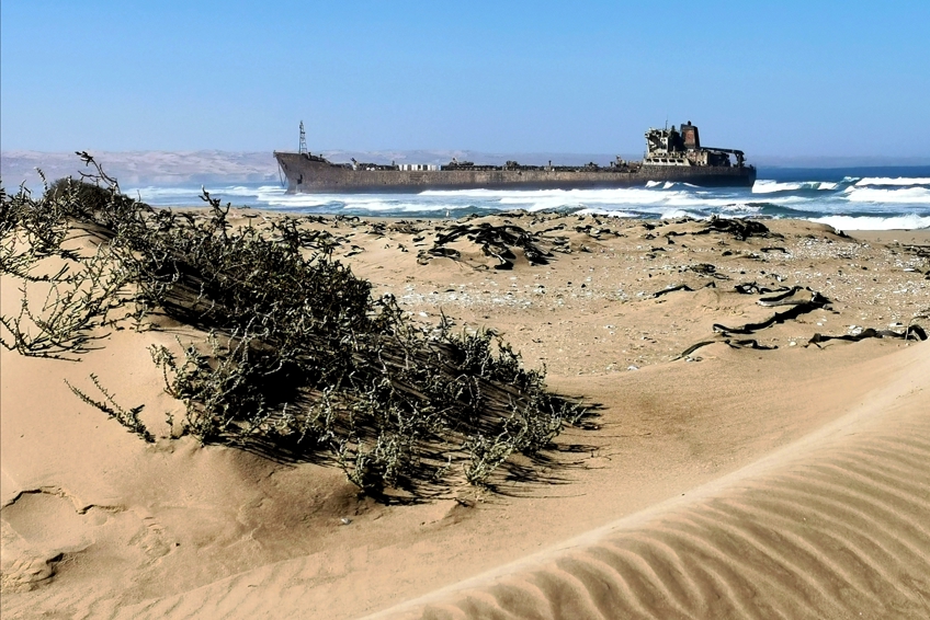
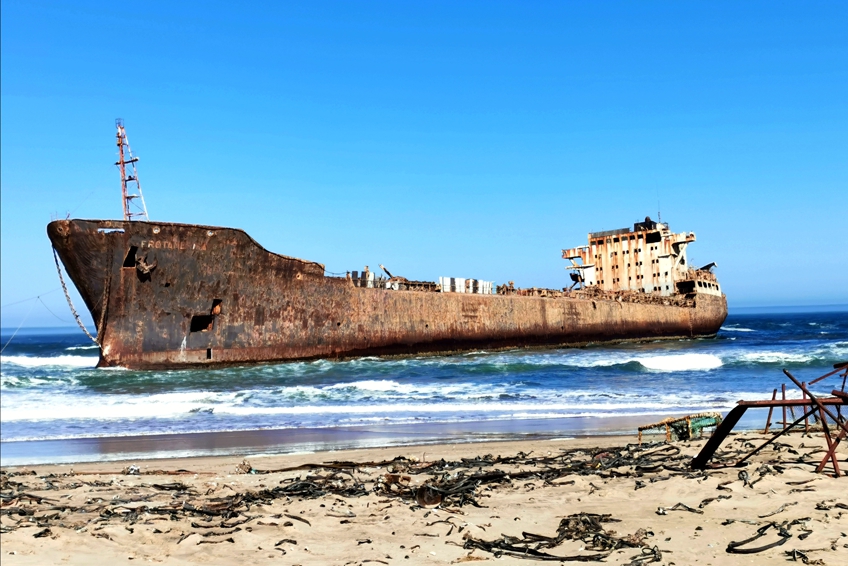
On our arrival we were surprised to meet four employees of an Indian ship salvage company that had been given the contract by the Namibian Government to remove the ship and salvage it for scrap. They explained that they first had to make the vessel environmentally safe; removing the oil that had threatened to leak and destroy the coast, asbestos and rust. The strategy will be to winch the hulk on to the shore, carve it up and transport it back to India. It’s a massive job.
From the Frotamerica wreck, I pedalled along the beach, but as the tide was rising fast, Simon thought the best strategy was to drive back to the encroaching high dunes. We were to meet at a point that they could access 6km further along. Soon after that, we all had to ascend the dunes to avoid the rocky headlands and cliffs. This was serious work for my tired body. The sand was particularly fluid in the heat of the day, and as the dunes ran on diagonal lines with the shore, I often found myself trying to ride across the steep slopes that I could not effectively grip. My back wheel would slip, then my front wheel (in AWD) would engage but I could not pull the bike back into a line. All this meant more walking than usual and a lot of frustration. It was 2pm and I was still 35km from Luderitz.
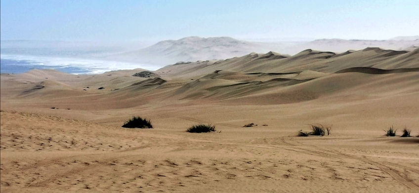
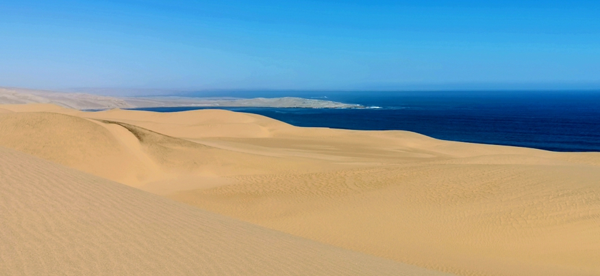
Simon led us through a very challenging 10km before the sand phased into a very fine gravel surface, kind of coating the sand. Following the ridges, I could do much better. After 40km I could see the wind turbines and the town of Luderitz. That gave me real heart – nothing was going to stop me from reaching the town that evening.
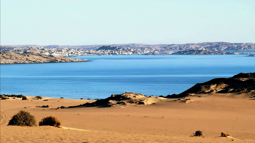
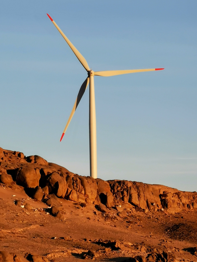
After about 50km we picked up a soft, sandy track – easy for the vehicles, but for me, this was a torturous surface. There is always a sting in the tail. The heavy vehicles turn the tracks into loose sand that I could not grip. It was a long, slow grind through a diamond mining area to finally reach Agate Beach. From there we hit a salt road, climbing a rocky hill, passing three wind turbines and down into the town.
Made it! I was very pleased with myself and the team. This was the most challenging part of the journey and we had kept to my time frame, in fact, we are still ahead of schedule. I had allowed 50km a day but added three contingency days in the likely case that it took longer. It has taken 11 days for the 565km from Swakopmund.


very interesting like the commentary and great photos keep up the good work