Blog 11
8th – 13th April
Salta to Llulliallaco Volcano
Distance – 300km
Total Distance – 2380km
Leaving Salta, we were satisfied everything was in order to cycle and drive to Llulliallaco volcano. I wanted to understand more about where the Children of Llulliallaco were sacrificed and what it took for the Incas to perform the capacocha ritual.
I set off through the streets of Salta, a city that really impressed me, and gradually climbing into the green foothills. Essentially over the next two days I would have to climb from 1137m to 4080m over 165km to San Antonio de los Corbes.
The first day I was fortunate to be pushed by a strong tail wind that funnelled from the tropical lowlands towards the high Puna de Atacama. It was all asphalt but I had not been looking forward to the slow grind. I was pleasantly surprised on Day 1 out of Salta. The gradients ranged between a very reasonable 3-6% as Route 51 tracked the Toro River all the way to the highest pass.
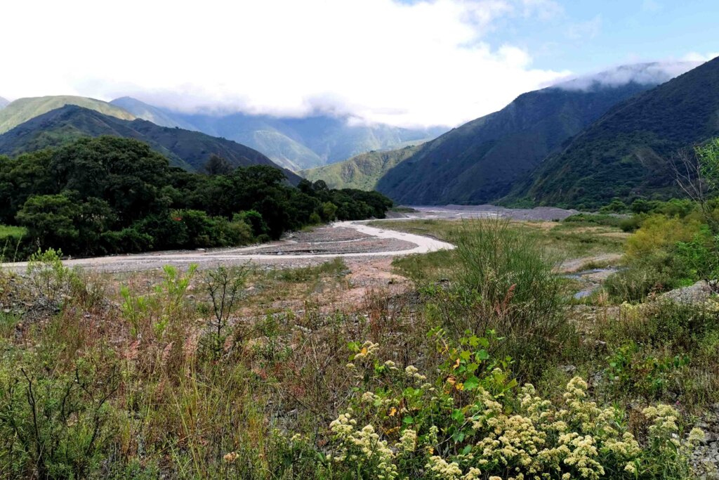
It was incredible to see how the vegetation changed as I ascended, from the verdant semi-tropical foothills through to a zone of spiky cactus and acacias at around 2000m- 2500m to increasingly dry slopes with pampas and other sparse grasses (like spinifex in Australia).
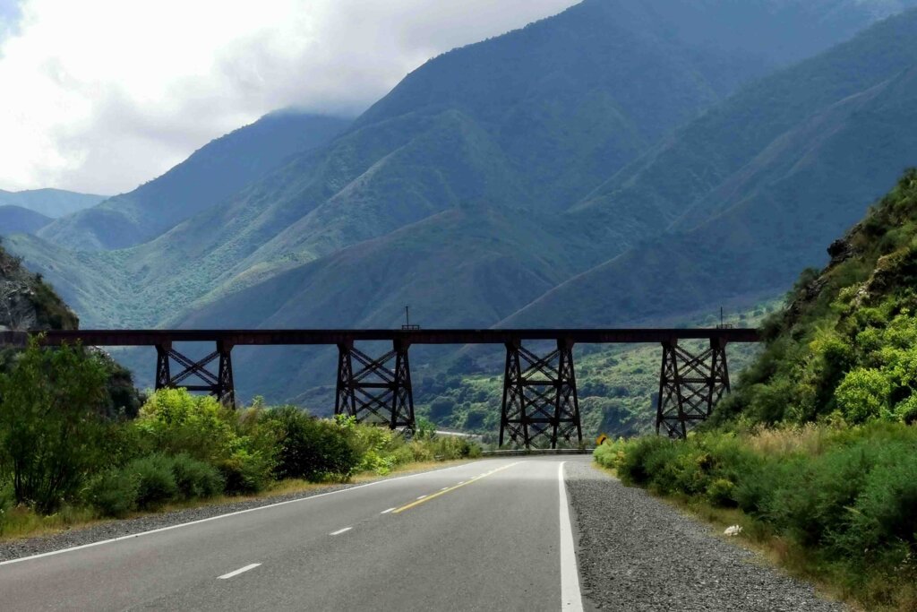
The road was not the only path criss-crossing the Toro River, the famous train line that joins Salta to Antofagasta on the Chilean coast wound its way above and below the road – a great engineering feat. These days the train is only used for tourists to go to San Antonio de los Cobres and just beyond to see the famous viaducts.
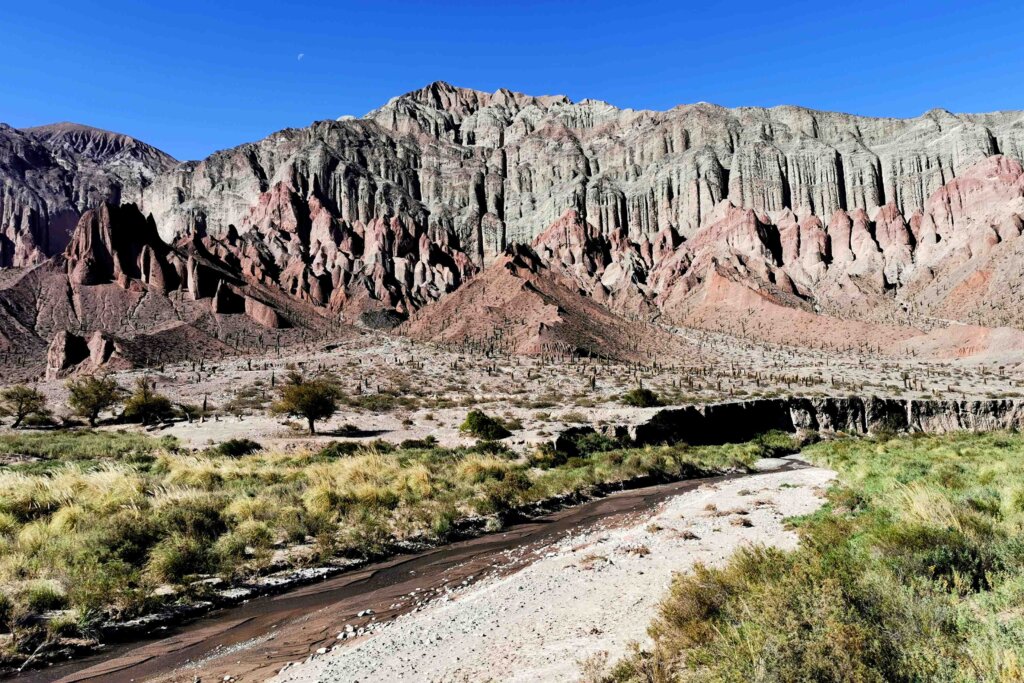
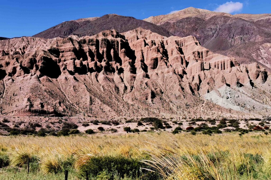
The higher I went, the more arid and the more spectacular the mountains – red, pink, grey, brown… The valleys were being used for small time agriculture. After a little pass at the end of the first day, I had gained 2024m of altitude and pedalled 107km. We reached the tiny village of Santa Rosa de Tastil, famously just beneath the ruins of Tastil. There was no accommodation, but a resident allowed us to set up camp under the protection of a large shed.
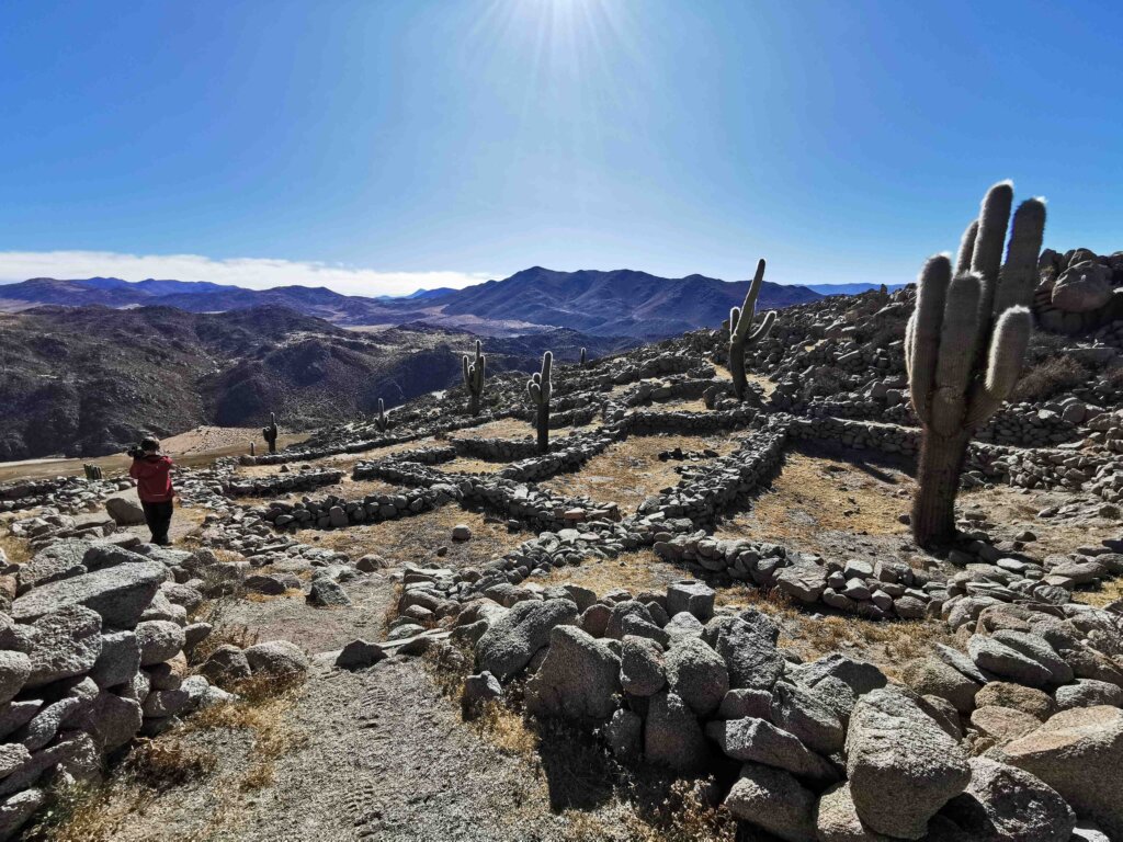
The second day out of Salta began with a visit to the Tastil archeological site, high on a hill overlooking the village and valley. Tastil was a pre-Inca civilisation known to have advanced technology, significant infrastructure and was a peaceful society. In fact, Christian Vitry gave Tastil the complement of being the “Switzerland” of the regional communities because it was a great mediator. The city of about 3000 people was influenced by Tiawanaku to the north and traded with societies to the west and east. The end of the society came with the invasion of the far less peaceful Incas, who took over the city and dispersed its inhabitants.
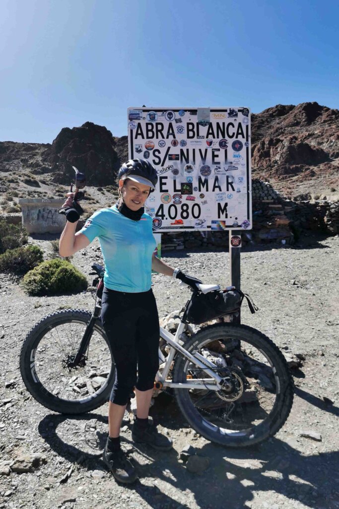
About 5km out of Tastil my fortunes with the tail wind that had been fanning me up the valley changed abruptly to a vicious head wind, sweeping off the Puna. I struggled from then al the way up the pass, Abra Blanca (4080m) and then slowed my descent to San Antonio. I only made 63km on Day 2 from Salta!
San Antonio de los Cobres is largely a mining town and the most significant in the region. Just as we arrived Rolando received a message from Facundo, whom we had employed to be our guide for climbing Llulliallaco. Unfortunately, he tested positive for Covid-19. In San Antonio, we interviewed a couple of guides but neither were suitable. We found out that we should be able to hire a guide from Tolar Grande, the nearest town to Llulliallaco, which we aimed to reach in a couple of days.
Out of San Antonio, things started to get tough. The tarmac road ended and Route 51 became a corrugated, dusty road. Ahead of me was a 4500m pass. But there was another route, the N129, that was signposted to Pocitos, the next significant village on my route. I like to call this the scenic route – although it was slightly shorter than the one I had planned, it was much steeper, winding up a very rough rocky/sandy and eroded path, tracking through a spectacular red gorge and then across windswept mountains. That pass, Abre de Gallo topped out at 4693m (according to my Suunto watch). It was pretty steep in places but adding to the degree of difficulty was the freezing wind – it was vicious at this high altitude and I just had to put the head down and try to keep moving forward, however slow. The descent was spectacular but also slow. I had to concentrate to keep on the track due to the wind gusts and the very rocky, eroded surfaces.
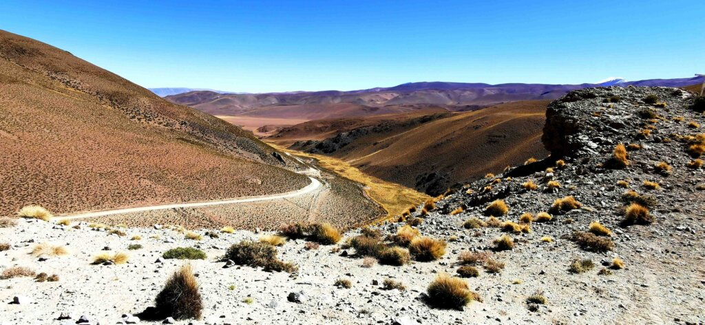
As I descended to 4000m I could only manage 10-12km/hr. Sand blasted into my face, as the gusts strengthened.
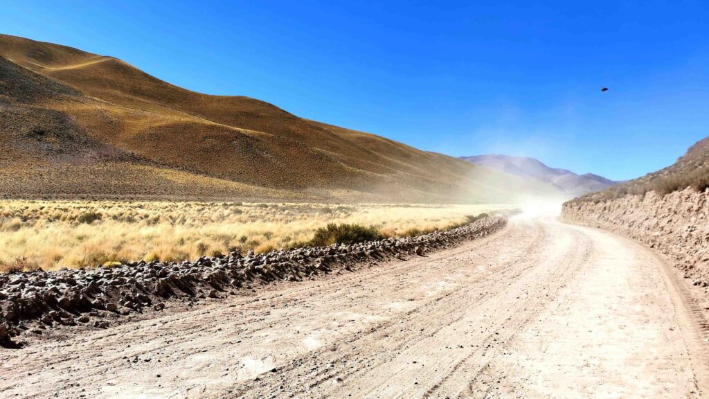
Exhausted and pretty cold, I fell 55km short of Pocitos. The conditions had almost halved my speed. The little village where we ended up, Santa Rosa de los Pastor Grandes, was a pleasant surprise. We cooked inside our clean room, and there was WiFi and hot water for a shower!
Day 4 out of Salta was similarly challenging because of the immensely powerful headwinds. I virtually crawled my way up another pass (4130m) and finally down to Pocitos, famous for its Salar de Pocitos (huge salt pan).
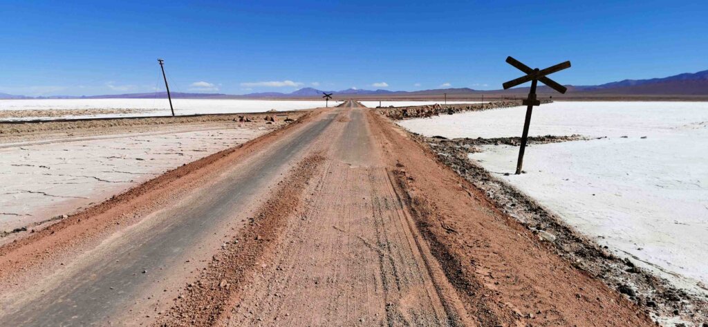
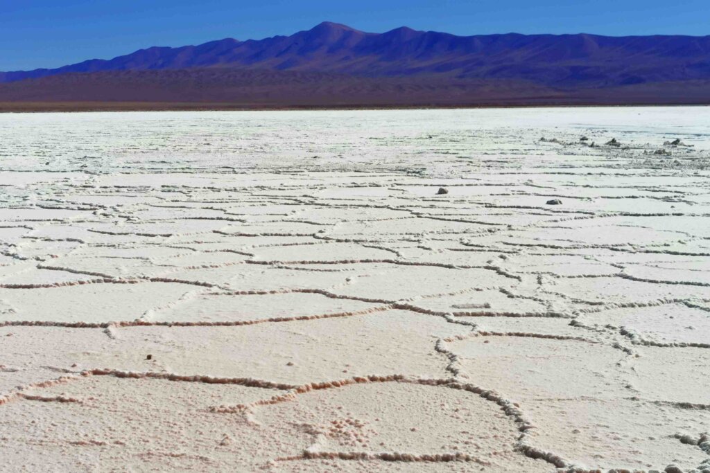
I stopped cycling after crossing the Pocitos salt pan and planned to pick up the cycle journey from there after we had been to Llulliallaco. We drove to Tolar Grande via the amazing Desert Diablo (the Devil’s Desert), and more incredible mountain to reach Tolar Grande.
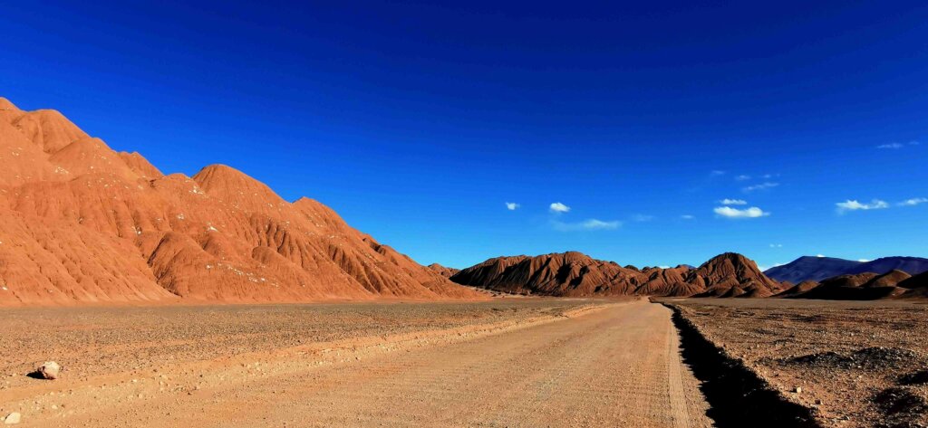
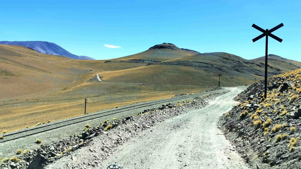
Rolando did a lot of research around the town but all the guides were currently in Salta. In the hostel where we stayed, we met three Argentinian climbers, Enzo, Rama and Alexis, who were also planning to climb Llulliallaco. They generously offered for us to join them for the climb. This seemed the best option.
After working through a whole lot of paperwork to get permission to climb (thanks to Gabriella from the MAAM in Salta for helping with our permits), we set off on a five hour drive.
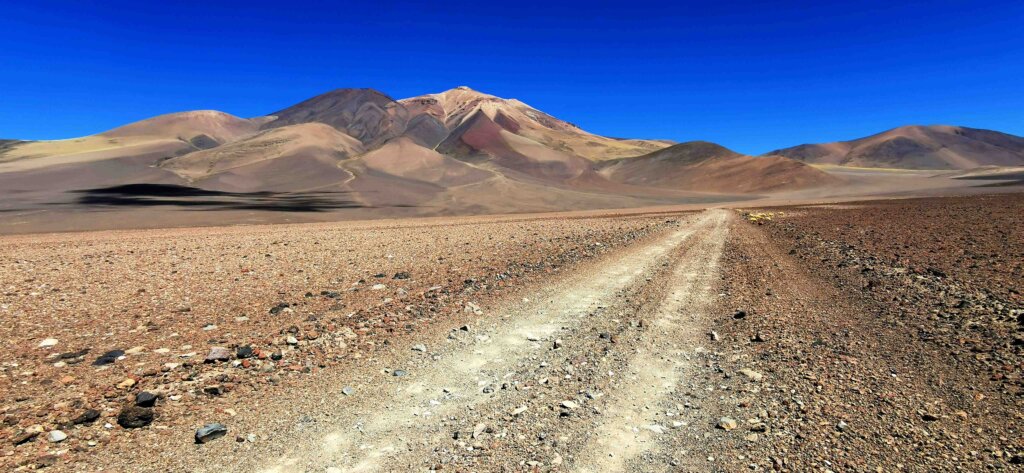
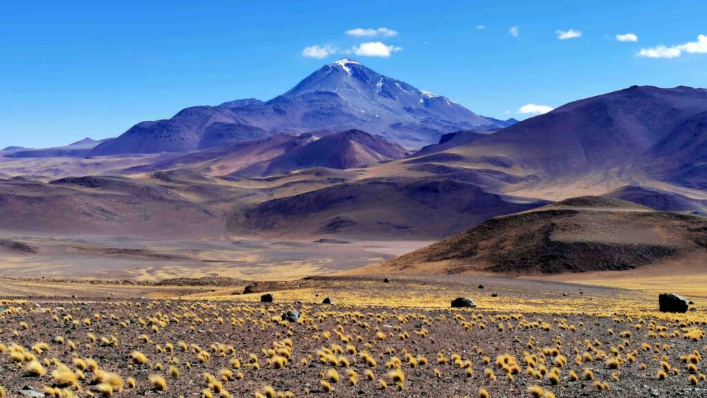
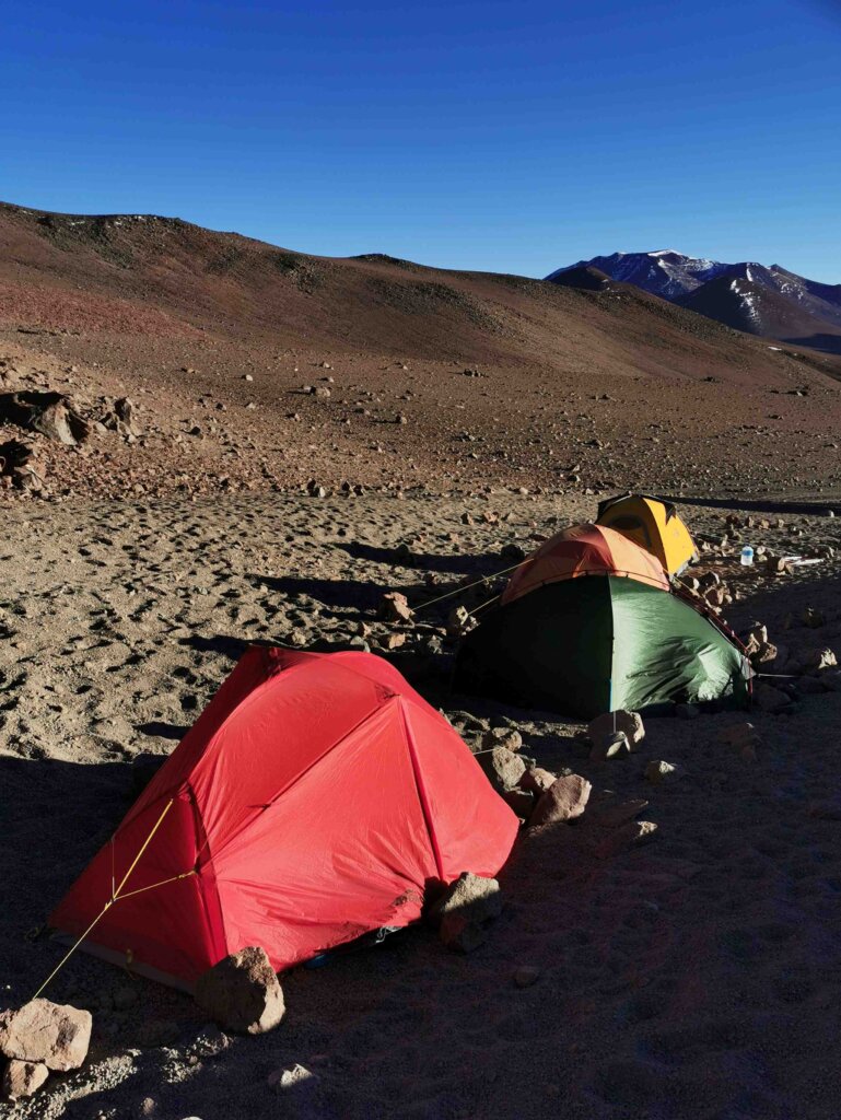
At Llulliallaco base camp we caught up with our new friends. At nearly 5000m, the winds were piercing and as the sun sank behind the mountain, it really was freezing. It started to dawn on me that there were a few issues with our plan. Originally we were going to take two days to do the climb – camp at 5900m, then a long day to the 6739m summit and down, as per our guide’s suggestion. These three well-prepared climbers were planning to take four days. If we did the climb, we would not be able to complete the cycle expedition in time. Secondly, Toby and I were not prepared to be on the mountain for four days – our backpacks were too small, we didn’t have enough water or food carrying capacity and I did not have enough fuel for the stove. In the evening, I talked it through with the team and we decided not to climb – well only a few hundred metres with the Argentinians as they set off. At least this would give us a feel for the remoteness and harshness of the place. How the Incas did what they did was amazing. This place is so harsh and dry. We had one very cold, virtually sleepless night, did our walk and returned to Tolar Grande and then Pocitos.
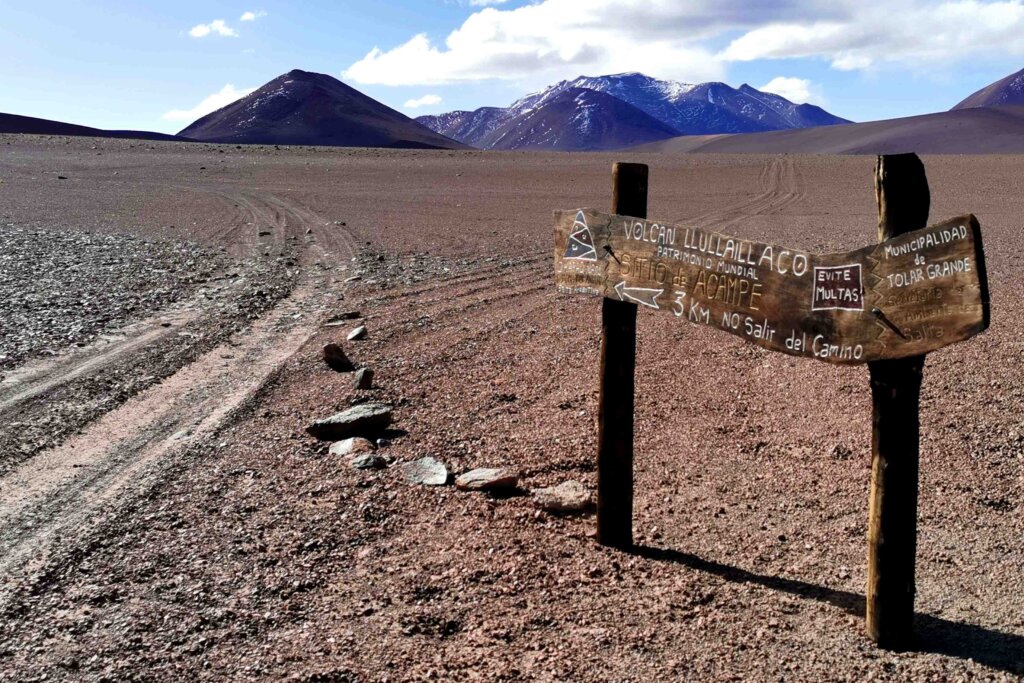
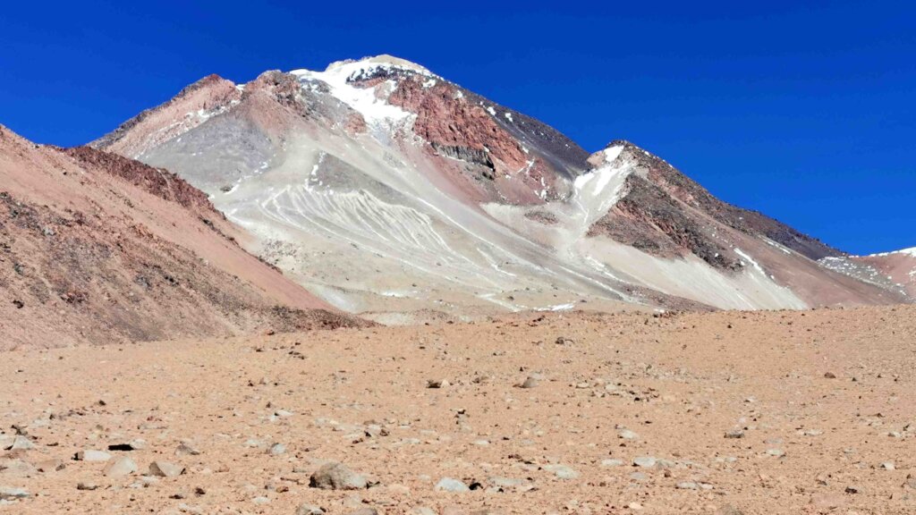
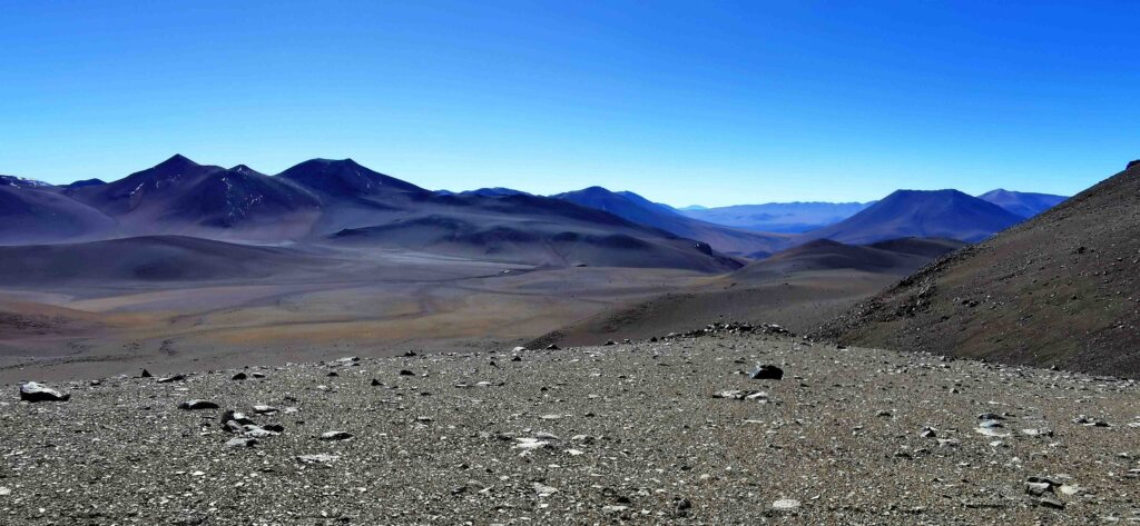
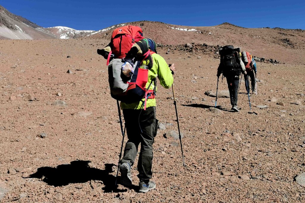
The decision not to climb I believe was a good one. I loved the story of the Children of Llulliallaco and followed the journey back to the mountain where they passed on to a new life. I love what it represents and how it fit with the theme of this expedition – what the mountains mean to the Andean people, past and present…but I need to complete the expedition!


Another fantastic post Kate. Really enjoying your writings and the features you highlight.
Thanks again for your blog update, Kate. The photos are absolutely stunning. Well done for all that hard cycling in difficult conditions and for making the hard call to prioritise the expedition over something special and unique to see … always a hard call. Great that you’re keeping safe and well.
Always an interesting, highly descriptive and evocative diary.
The landscapes very different and remarkable .
The cycling part somewhat of a doddle really !
XX Diane and Philip.