Blog 2
12th – 15th May
Windhoek, Namibia’s capital, seemed pretty relaxed and low key compared to most capital cities I’ve been to. It has a population of about 350,000 and on Sunday when Kas and I explored the city on foot, it was very sleepy indeed. Windhoek means ‘windy corner’ but for us it turned on perfect weather; sunny, cloudless skies, about 25C and no wind.
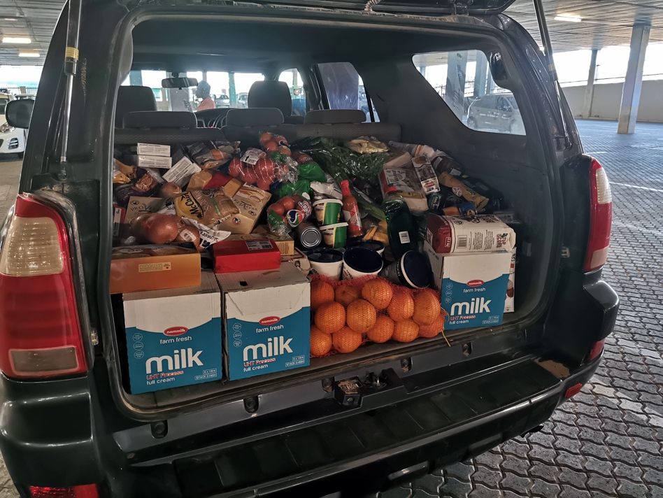
We stayed at the very homey Rivendell Guest House which was perfect to enable us to sleep off the jet lag, and for me to try to get over a nasty throat infection that I contracted three days before leaving Melbourne. We spent time testing all our camera and communications equipment, preparing the bike, organising the first three weeks worth of supplies and writing seemingly endless emails.
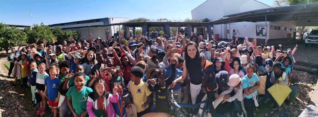
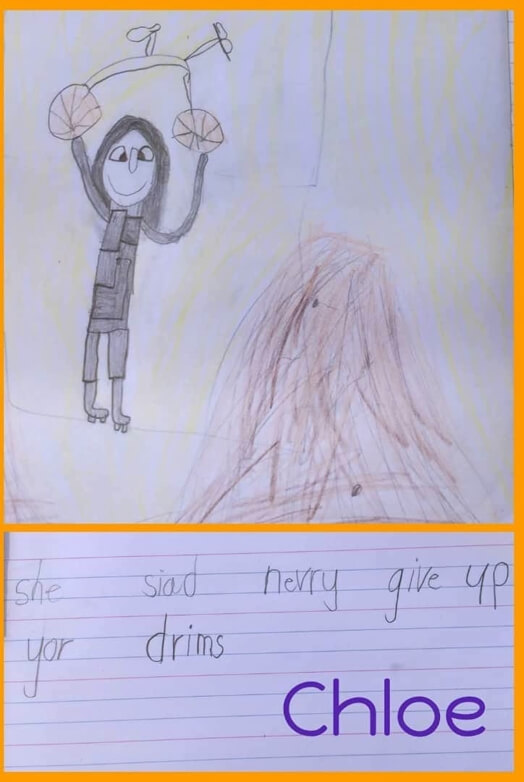
On Monday I gave two presentations at Windhoek International School; years 6-8 and then years 1-5 which involved most of the 550 pupils. The groups were possibly the most responsive and enthusiastic students I’ve ever spoken to, where there were far more questions than I had time to answer.
Permits
We were then invited to meet the Deputy Minister for Tourism and Environment. No one is automatically allowed to travel down the Namibian coastline; by bicycle, on foot or by vehicle. It has been many months of negotiations to make happen. In the northern section, the first 500km is ecologically and culturally protected and only a few concessions are given out each year jointly by the communities and the government. As Jimmy is the only tour operator that holds concessions for the whole coastline, that helped my cause. But they would not normally give a permit to a single cyclist. What has swayed the authorities are my efforts to support a local community by initiating the Purros village solar electrification project in September.
South of Walvis Bay (central Namibian coast) is out of Jimmy’s area and he has employed a specialist for that area to guide the team. The ministry needs to be assured that we protect ecologically sensitive areas such as a RAMSAR bird protected area.
The final 250km section through the Sperrgebiet (forbidden diamond mining area) has been the most challenging to find permission to go through. After an initial rejection and many others telling Jimmy it is impossible, I managed to track down emails of the leaders of Namdeb, the De Beers – Government organisation controlling the region and they reconsidered the decision. We will be able to travel through with a Namdeb. escort and restricted access permit.
Our permit to travel the first 1350km, from the mouth of the Cunene River to Luderitz had been agreed to seven weeks ago. I thought the permit was already signed, so I was surprised when one of the administrators told us that we ‘might need to make some concessions’. Apparently there had been a lot of politics over the last seven weeks and some were questioning the permit. Our meeting was positive but we left having to supply more information for the government before they would issue the permit, we hope without restrictions.
Windhoek – Twyfelfontein
We were pretty excited to be finally leaving Windhoek on Tuesday, heading north towards the mouth of the Kunene River and the start of the expedition. The aim was to take four days and see a few sights en route. Jimmy was unable to join the expedition as he had to continue running his company, so he has put one of his most experienced guides, Elago. Driving the second vehicle is Thomas, who is on his first trip working for Jimmy.
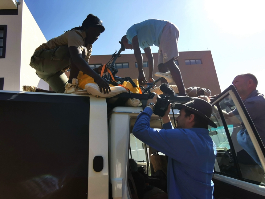
After about 100km, we hit the gravel roads and will stay on the unsealed roads for the rest of the trip. Most roads are heavily corrugated with some stones and sand. The landscape is vast open plains flanked by rugged mountains. It was a relief to finally get going. We just made it to our first destination, Twyfelfontein in the early evening and set up camp.
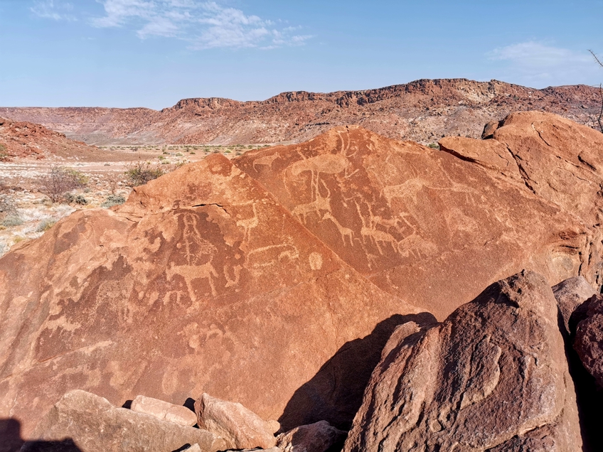
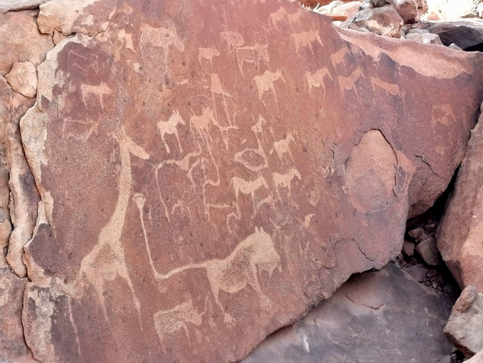
Twyfelfontein meaning ‘doubtful spring’, has been a significant place for the indigenous San culture. Set in a broad valley, the area reminded me very much of the Kimberley region in Western Australia. Kas and I were taken to see the 4000-6000 year old rock engravings. The images depicted life for the nomads, who circulated through Namibia, Botswana and South Africa in a clockwise following the animal migrations in a clockwise direction. There were messages about the country, where to find water, animals and Shaman teachings for each group as they moved through the landscapes.


Hey Kate! Looking forward to the blogs… Amazing part of the world! Safe travels!
Please say Hi to Kaz for me from paradise, Christmas island!
This is possibly your most revealing expedition so far.
Off to a good start, Kate. I hope all the permissions are sorted out okay – you are a very low impact expedition with a watertight ‘good cause’ element which should persuade people to give you access to all the areas.
Enjoy munching your way through that bootful of food.