Blog 11
Days 55-60
Dates: 4th – 9th August
Vokes Hill Corner to Tjuntjuntjara
Distance – 573km
Total Distance 2023: 3830km
Total Distance 2021, 2023 – 5358km
Day 55
To Vokes Hill Corner
91.5km
I seemed to recover pretty well from the overheating incident the day before. Stopping early, rehydrating and taking my usual salmon protein (GoPro) and joint and muscle support powder (collagen type II, glucosamine/chondroitin, MSM, magnesium) really helps me to repeat these big efforts day after day. The day was cool and overcast with a few drops of rain.
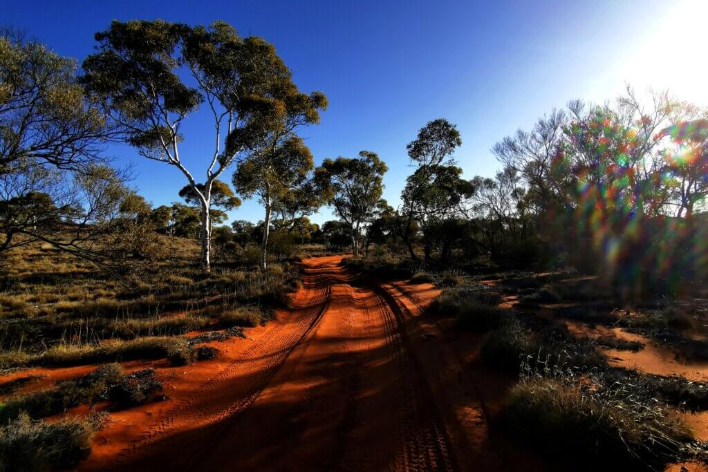
The road tracked mostly parallel to the sand dunes and for much of the day I had longer, slower ascents and descents. While the conditions were generally better, it was still very hard work (7.5 hours, 12.3km/hr average).
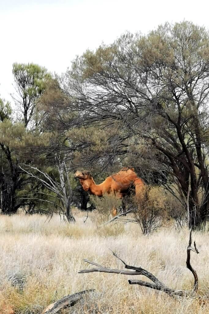
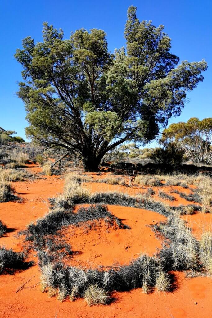
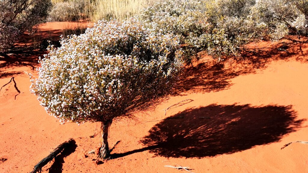
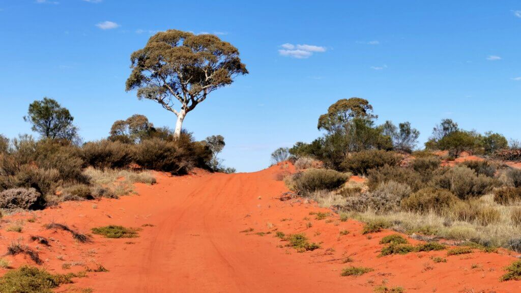
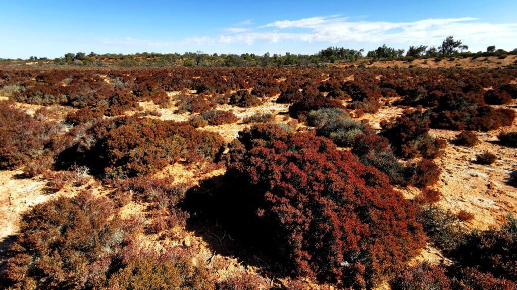
The vegetation is constantly changing as I move slowly along the track. I am now seeing fewer mulga trees and more marble gums, desert oaks, spinifex and some regular sprays of white and yellow wildflowers. The sand is deep red. I saw and filmed a camel walking along the road, and when I disturbed it, it walked parallel to the track for a way.
I made it all the way to Vokes Hill Corner campsite, the junction between the Anne Beadell Highway and an Aboriginal Business Road that, if I had permission, could have lead me to Tjuntjuntjara, cutting off about 100km and being a smoother track, it would have been faster.
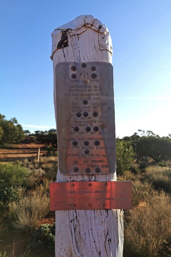
In reaching Vokes Hill Corner, I had now entered the Mamungari Conservation Reserve, dedicated as a UNESCO Biosphere Reserve.
Day 56
Vokes Hill Corner to No.3 tree (Grass Leaved Hakea), Mamungari Conservation Reserve
89km
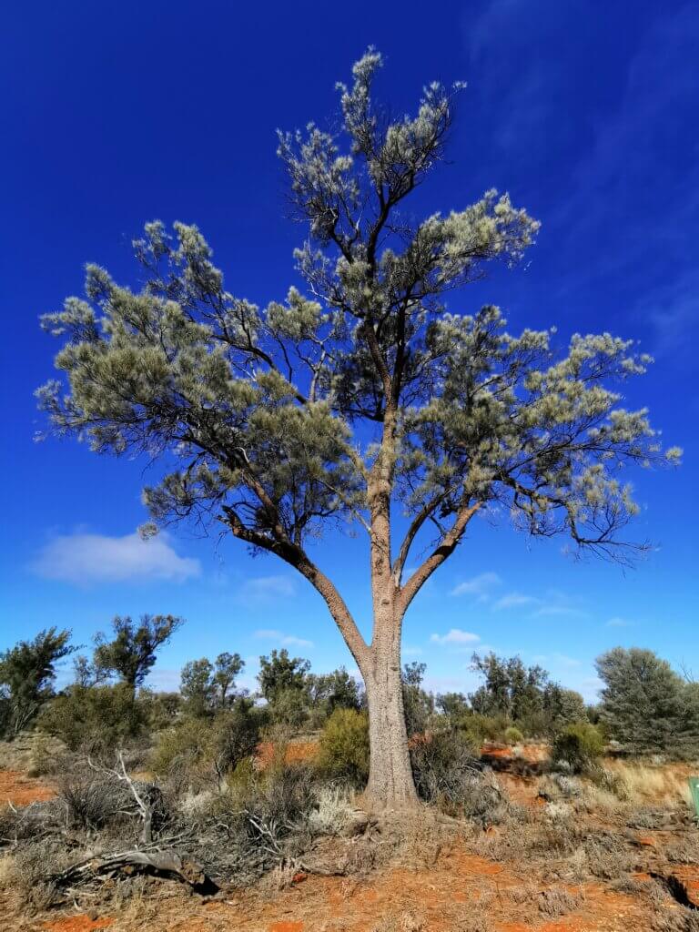
The Mamangari Conservation Reserve contains both arid wilderness and cultural significance. Spaced out along the route were several examples of species that are specific to the region. Each tree became a focal point on my route across the 250km-long park – the black oak, marble gum, desert kurrajong and more.
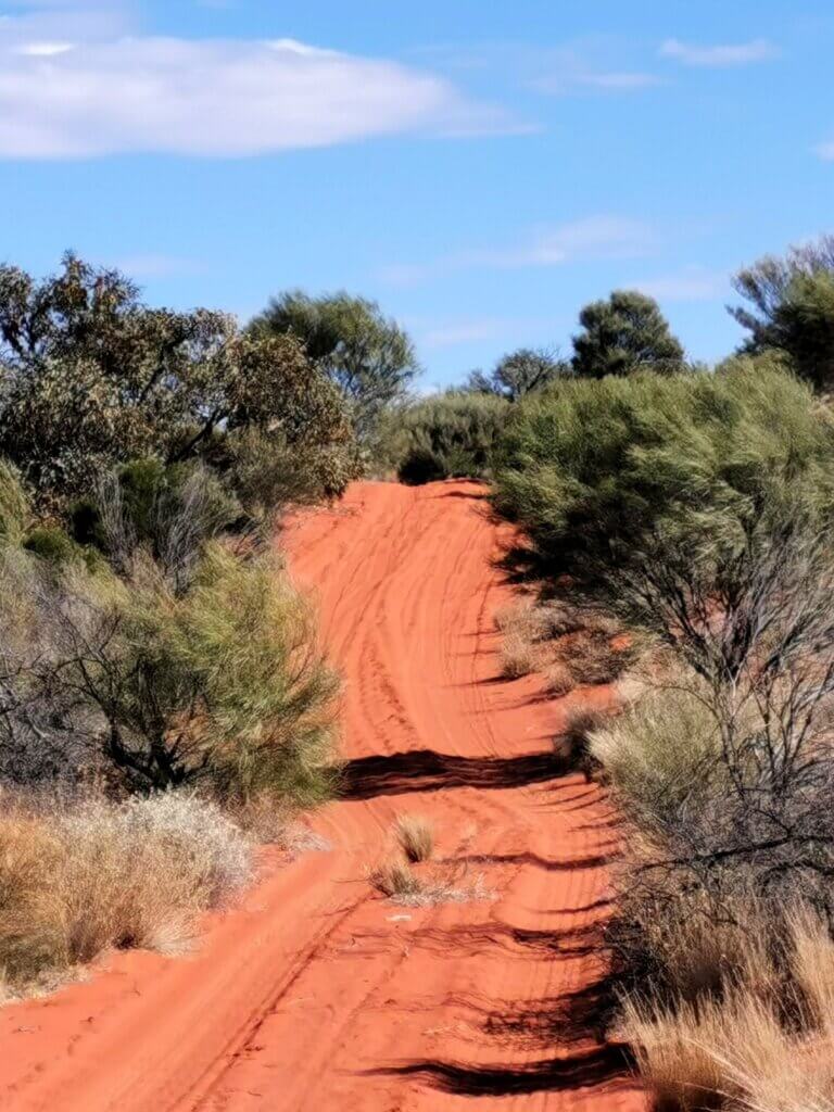
I made a lot of distance today by cycling down the centre of the track on the deeper sand (rather than corrugations on the straighter sections. There were some challenging but fun rocky sections too. It is a huge advantage to be riding a fatbike in these conditions.
Day 57
Across the Western Australian border + 9km
93km
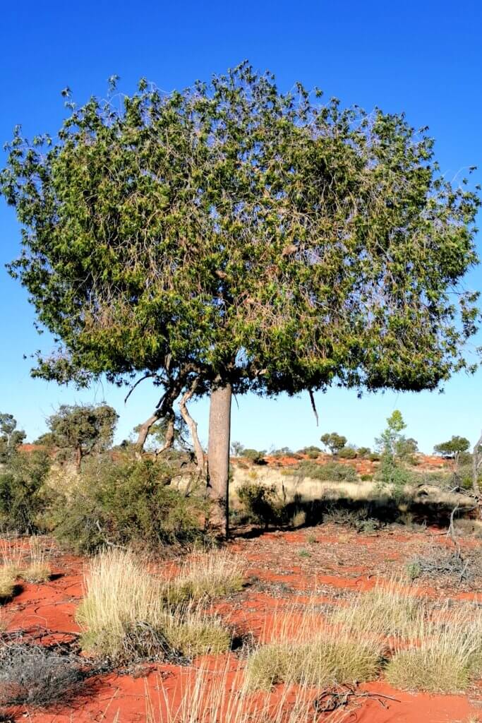
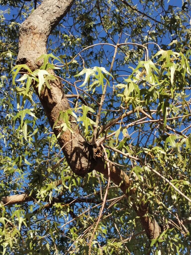
Just west of our campsite, still in Mamungari Conservation Park, I was particularly impressed by examples of the desert kurrajong. It is often known as the compass tree because it is possible to orientate yourself by examining the bark – rougher bark faces the hotter setting sun where as the other side is smoother and often grows a type of moss on it. Its leaves are shaped like an emu’s foot and are used by wedged tailed eagles to line their nests. The tree has shallow tuber-type roots that enable it to carry more water to survive in the dry and are also a source of food for the Aboriginal people. It can shed its bright green leaves at any time it is under drought stress to survive. The desert kurrajong is a master of adaptation but looks out of place amongst other smokey-green desert vegetation with it’s manicured appearance and bright green leaves.
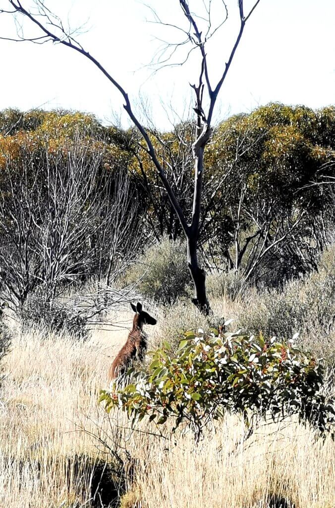
I noted many animal tracks – emu, dingo, kangaroo, camel, lizards. Finally I crossed Serpentine Lakes and the Western Australian border. From there it was a 9km ride through sand hill country to a dedicated camp site.
Day 58
To Ilkurlka -60km
93km
Another demanding day, mostly in sand and then horrific corrugations. The road was a little wider than two wheel ruts with longer straights allowing vehicles to travel faster and use the whole road space. For me there was often nowhere to go to avoid the bumps. There was some relief with clay sections, but the rest was arduous, bone-rattling work. I did follow a large male camel for a short while before he reluctantly diverted into the bush.
Day 59
Ilkurlka (-65km) – Ilkurlka +27km
92km
The final 65km into Ilkulka Roadhouse was indeed torturous – no let up from the previous day. It was more of the same. I was relieved to reach the Ilkurlka Roadhouse at around 2.30pm. The Anne Beadell continues about another 500km to Laverton. All reports are that I had done the roughest part and from Ilkurlka west, the road has been upgraded, or at least graded!
Our support drivers were able to stock up on fuel and I had a quick lunch. I also checked in with the son of the Tjuntjuntjara community acting CEO, who was managing the roadhouse. Tjuntjuntjara is a closed community and I had successfully negotiated (over several months) to visit. Approval came from the elders in Tjuntjuntjara.
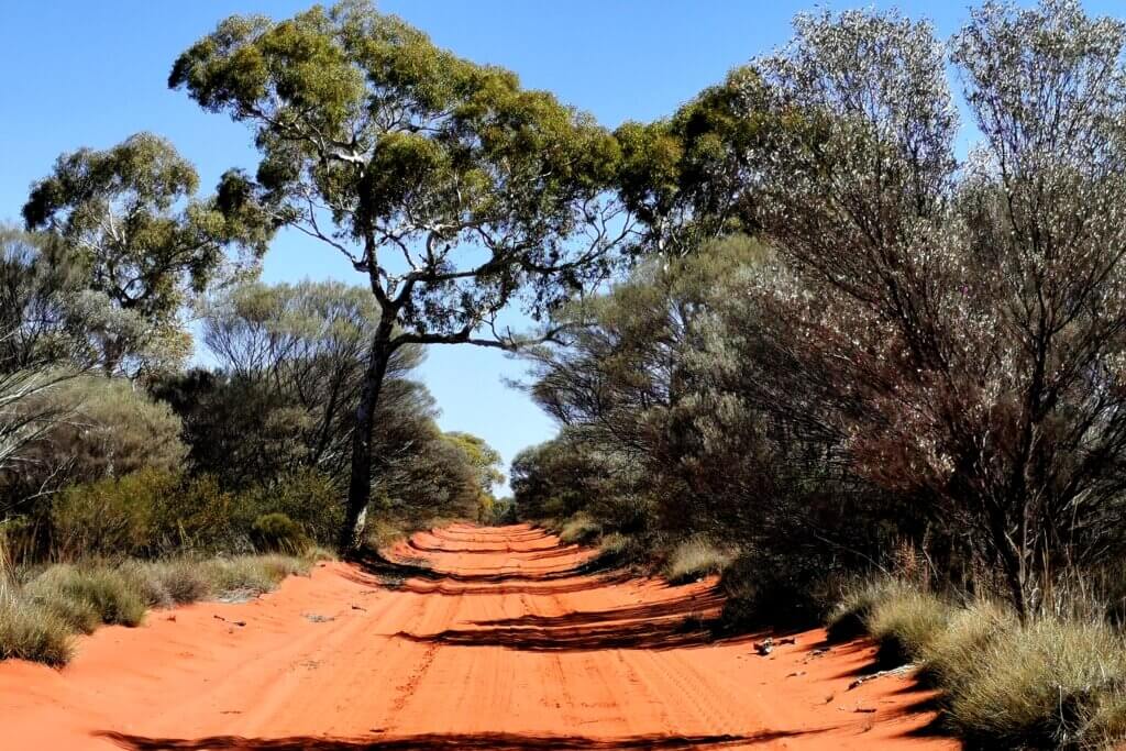
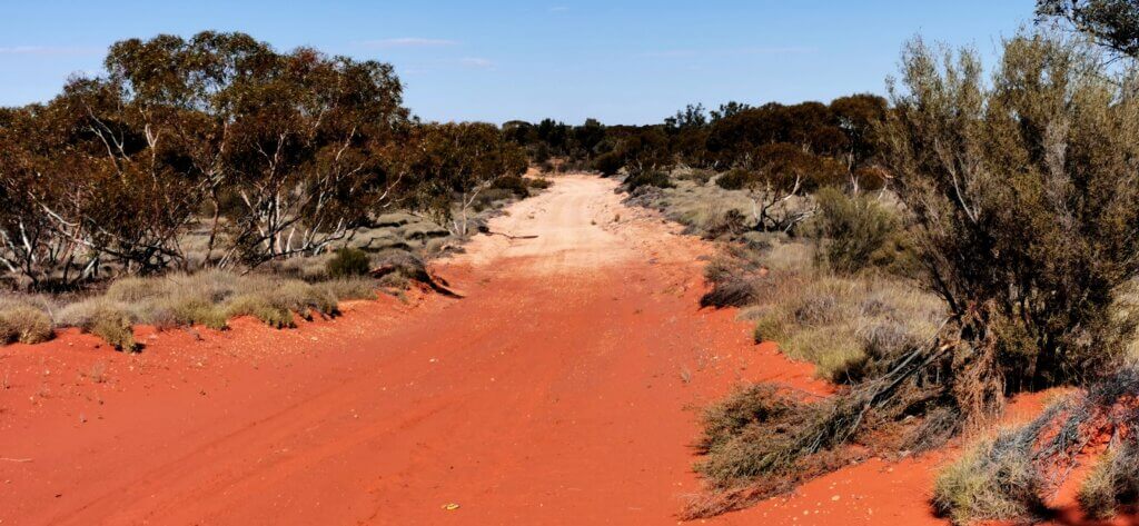
The road from Ilkurlka to Tjuntjuntjara is a 135km Aboriginal Business Road. I was expecting it to be better quality than the Anne Beadell Highway. It was better, but hadn’t been maintained for a while and it bisects the line of the sand dunes.
My ride started OK for the first few kilometres, but then the sand dunes kicked in. This was serious work. The ridges were high and extra soft – much more of a challenge than the sand dunes on the Anne Beadell. But it was beautiful country and I noticed subtle changes in vegetation and character, virtually after crossing each ridge.
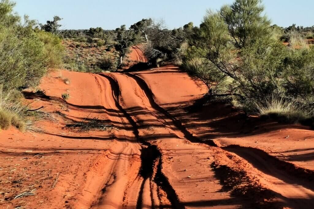
Despite the sand, I managed to stay on the bike all the way – no walking. This is where the all-wheel drive fatbike was in its element.
Day 60
Camp – Tjuntjuntjara
110km
This was my tenth gruelling day in a row and it turned out to be an epic. Setting off at around 7.30am, I was quickly into the big sand ridges. Camel tracks messed up my path up and down the sand dunes and any fresh vehicle tracks also increase the degree of difficulty. It was generally better to try to make the most of any undisturbed sand, though I was often drawn into the track because there was nowhere to go. The tops of each dune were very soft.
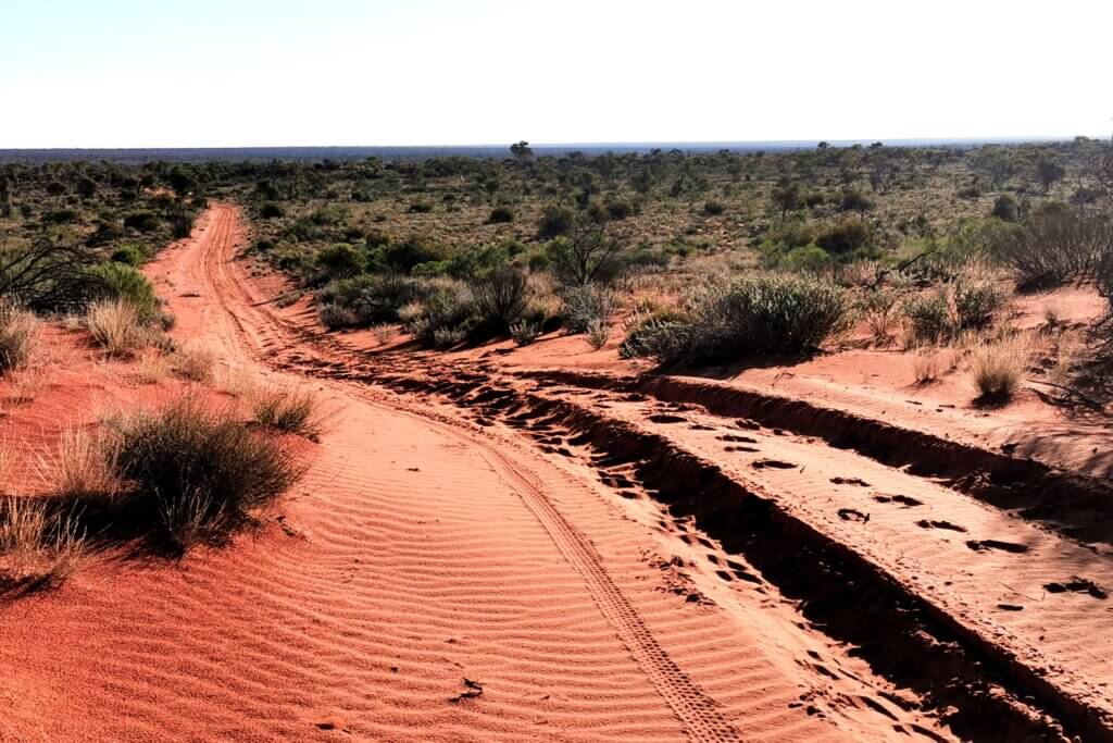
The worst of the sand dunes were in the first 75km of the journey. After that, the dunes became lower and petered out altogether for the final 20km. I was also battling a gusting headwind for much of the day; stronger in the afternoon.
The days are short here and the sun sets by 5pm. The final 15km were done in the dark with my way illuminated by the powerful headlights on Martin’s vehicle. Finally I spotted the lights of Tjuntjuntjara in the distance and powered towards the community. The acting CEO, Jon Lark led the team through the community and I struggled to avoid being attacked by the many dogs.
I was exhausted and very sore, but very pleased to be there and excited to meet members of the community – the Spinifex People – over the next two days.
This completes a 934km, 10-day non-stop section of the expedition – the toughest so far, but very rewarding.


Loving these images from the AB Highway,how many others visitors are you encountering along the way?
Hi Mark, We usually encountered 1-3 vehicles (usually in a group) most days on the Anne Beadell. BTW, No vehicles at all on the current 6-day stint from Tjuntjuntjara to Laverton (should arrive tomorrow), except for a couple of trucks and a car on the Tjuntjuntjara Business Road and on a small section of a mining road.
I am impressed and entertained by your knowledge of flora and fauna. But I guess it relieves some of the boredom of the washboard. I have only endured the ‘hardship’ of wet, hard packed sand on the British Columbia coast!
I was finally able to order your book: Out There And Back (eBook) which I can at least carry guiltlessly on bike tours. I will set off into the rainforest of Vancouver Island when the heat, tourists, and wildfire risk abate in another month.
Inspiring blogging, Kate
Add small map location to aid if possible.
We are learning abpout bits of Australia of which we here so little. You have sent me back to read again Songlines and also Alan Moorehead’s books such as Coopers Creek (I knew him years ago as my sister married his delightful son, John, who has lived in London all/most of his life).
Hi Bill, Please check the tracking map for the expeditio : https://z6z.co/breaking-the-cycle-australia/